Reading the landscape: how big sur hiking trails shape where you sleep
Big Sur is not one place but a long, broken coastline of canyons, ridges and river mouths. If you care about big sur hiking trails more than spa menus, you choose your bed by the trailhead, not the infinity pool. The right hotel cuts driving time, dodges closed sections of Highway 1 and quietly solves parking headaches before sunrise.
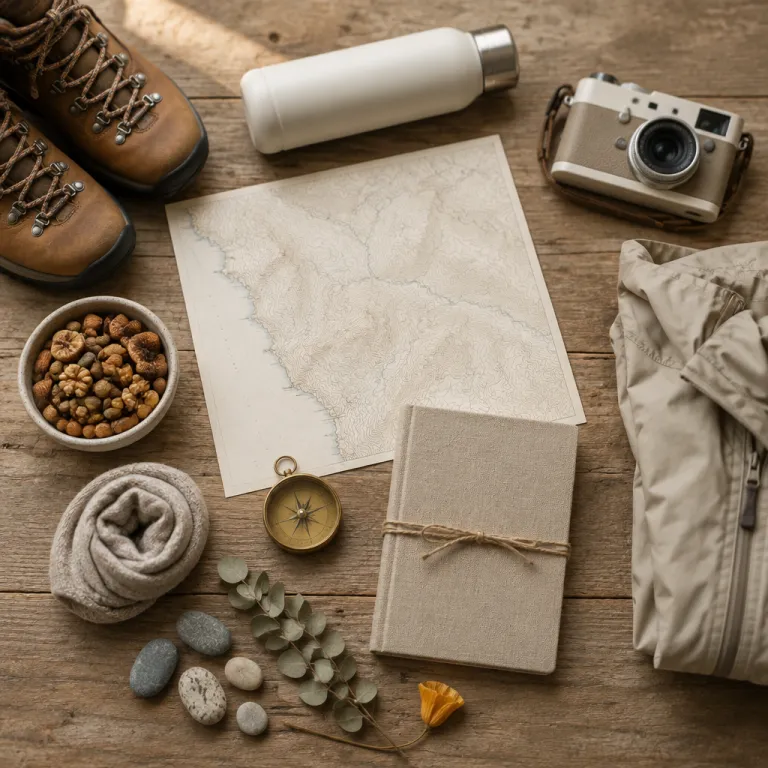
Start with a paper map and a realistic sense of distance, because 16 kilometres on a cliffside route feel longer than 16 kilometres in a flat state park inland. The best strategy is to cluster your hikes by valley or state park, then book one or two bases that match those clusters instead of chasing every famous beach in a single round trip. Think in terms of river systems and canyons — Sur River, Big Sur River, Limekiln Creek — because each anchors its own set of trails, campgrounds and small inns.
Access changes often, and the Timber Fire and winter storms have left some state parks and trail networks partially closed for long stretches. Before you lock in non refundable rooms, check the California State Parks website and the Los Padres National Forest Service alerts page for current trail conditions and any fire related closures. When a key trail is closed, it can turn a supposedly central hotel into a stranded outpost with long detours and wasted hours on the road.
Redwoods and river canyons: staying near Pfeiffer Big Sur State Park
Pfeiffer Big Sur State Park is the closest thing this coast has to a classic mountain base, with redwood groves, the Sur River and a tangle of creek trail options right behind the lodges. If you want to walk straight from your room to the best shaded hikes big enough for a full day, this is where you stay. The park’s valley floor keeps wind low, trail conditions stable and driving time minimal for anyone focused on forest rather than beach.
The signature outing here is the Pfeiffer Falls Trail, a short but steep climb through redwoods with roughly 120 metres of elevation gain, often combined with the Valley View spur for a satisfying round trip. When the falls trail is fully open, you can link it with the River Path and other easy trails to create flexible hikes from 3 to 10 kilometres without ever moving your car from the main parking area. Check the posted hours at the entrance kiosk, because day use access to this state park can be restricted during fire season or after storms.
For lodging, the Big Sur Lodge sits inside Pfeiffer Big Sur State Park, which means you trade ocean views for the luxury of stepping onto the trail within minutes. Up the road, Glen Oaks Big Sur lines the Big Sur River and gives quick access to both the park and the Sur River corridor, though you will drive a short distance to reach the main trailhead parking. Before you book, study a detailed hiking trail map and this guide on how to choose a Big Sur hotel using hiking trail maps so your chosen room matches the specific trails you care about most.
Coastline drama: Julia Pfeiffer Burns, McWay Falls and the Highway 1 puzzle
South of the river valley, Julia Pfeiffer Burns State Park delivers the postcard version of Big Sur, where cliffs drop straight into turquoise coves. The famous McWay Falls viewpoint sits here, but the McWay Falls Overlook Trail is closed for a long-term retaining-wall repair, even though the waterfall remains visible from a roadside vista near the park entrance. That single closed path changes how you plan your time, because you now come for the broader coastal routes and canyon hikes rather than a quick falls snapshot.
When Highway 1 is fully open, this stretch links easily with Limekiln State Park and the beaches near Gorda, but fire damage and slides can isolate segments for months. Always confirm which state parks are accessible and whether any part of the main route is closed before you commit to non flexible reservations, because a simple detour inland can add hours to your day. The forest service updates for Los Padres National Forest are essential reading, especially when you are eyeing longer hikes big enough to reach higher elevation gain on inland ridges.
For a base, look at Deetjen’s Big Sur Inn in Castro Canyon or the more contemporary Alila Ventana Big Sur, both positioned between Pfeiffer Big Sur State Park and Julia Pfeiffer Burns State Park. From either, you can reach coastal viewpoints, the remaining open trails and the pullouts that frame McWay Falls within 20 to 30 minutes of driving, assuming no temporary closure. If you prefer easier options, study this resource on easy hikes in Big Sur and how to choose the right hotel near the trails so your lodging aligns with gentle coastal walks rather than steep canyon climbs.
Limekiln, beaches and the southern gateways to the coast
Limekiln State Park, near the southern edge of what most travellers call Big Sur, is where redwoods, a creek trail and a pocket beach share one compact canyon. The main Limekiln Creek Trail, Hare Creek Trail and Falls Trail each offer short hikes with modest elevation gain, making them ideal for a half day of exploring rather than a punishing round trip. When trail conditions are good, you can link all three into a loop of roughly 5 to 6 kilometres, finishing at the small shingle beach under the Highway 1 bridge.
Because Limekiln State Park has limited parking and tight day use hours, staying nearby matters more than you might expect. Kirk Creek Campground, run in partnership with the forest service, sits just up the coast with wide open ocean views and quick access to both Limekiln and longer coastal routes. If you prefer a real bed, look at the small motels and cabins around Lucia and Gorda, which keep your driving time short enough to slip into the park at opening and avoid the mid morning parking crunch.
Farther north, Pfeiffer Beach hides at the end of an unmarked, narrow road off Highway 1, and its small parking lot often fills by late morning on weekends. Staying in the central Big Sur area — near the Sur River corridor or in the Pfeiffer Big Sur cluster — lets you time your visit for early or late hours when the light is softer and the crowds thinner. Here, the best strategy is to treat the beach as a flexible add on around your main hikes, rather than the core of your day, and to read this analysis of how Big Sur restaurants shape a coastal hotel stay so your meals line up with your chosen trailheads.
Practical timing, closures and choosing your base like a local
On popular big sur hiking trails, the difference between a serene walk and a crowded procession is often just an hour on the clock. Aim to reach major state park gates before 9:30, when parking is still easy, or after 16:00, when day trippers are drifting back toward Monterey and San Luis Obispo. That timing is only realistic if your hotel sits within 20 to 40 minutes of your chosen trail, which is why location matters more than room decor here.
Closures are a fact of life along this coast, whether from the Timber Fire, winter slides or routine maintenance on bridges and retaining walls. Before each hiking day, check the California State Parks website, the Monterey County road conditions page and the forest service alerts for any mention of closed trails, restricted hours or fire related access limits. Build a flexible plan with a mix of creek trail options, ridge routes and short beach walks so you can pivot quickly if a favourite state park suddenly shuts its gates.
For gear, think in layers and litres rather than gadgets, because fog, wind and sun can all appear on a single 10 kilometre round trip. Carry at least 1,5 litres of water per person for moderate hikes big enough to last half a day, plus a printed map in case mobile coverage drops in the canyons. In the end, what you remember is not the ocean view on the booking page, but the fog lifting at 7:00 while you cross the Sur River footbridge and realise you chose the right place to sleep.
FAQ
Which area of Big Sur is best for hikers to stay in ?
For most hikers, the best base is around Pfeiffer Big Sur State Park, because it offers direct access to redwood trails, the Sur River corridor and central Highway 1. Staying here keeps driving time reasonable to both Julia Pfeiffer Burns State Park and Pfeiffer Beach. If you plan to focus on Limekiln State Park and southern coast routes, consider a second base near Lucia or Gorda.
How early should I arrive for parking at popular trailheads ?
At major state parks such as Pfeiffer Big Sur and Julia Pfeiffer Burns, aim to arrive before 9:30 to secure parking without stress. On weekends and holidays, lots at Pfeiffer Beach and small canyon trailheads can fill even earlier. Late afternoon, after 16:00, is the second best window if your hotel is close enough for a quick return.
Are any famous Big Sur trails currently closed ?
Access changes regularly, but the McWay Falls Overlook Trail at Julia Pfeiffer Burns State Park is closed for a long-term retaining-wall repair, although the waterfall remains visible from a roadside viewpoint. Sections of Highway 1 and some inland routes can also close after storms or during fire season. Always check California State Parks and forest service updates before finalising your hiking plans.
Do I need a car to hike in Big Sur ?
Public transport is extremely limited along this coast, so a car is effectively essential for reaching most trailheads and state parks. Choosing a hotel close to your priority hikes reduces daily driving and makes early starts realistic. Without a car, you would be restricted to a few walks near your lodging and occasional rideshares, which are unreliable in remote stretches.
What should I pack for a day on Big Sur trails ?
Plan for variable weather by bringing layers, a waterproof shell, sun protection and at least 1,5 litres of water per person for moderate hikes. Sturdy shoes with good grip are important, because trail conditions can shift quickly after rain or fog. A paper map or downloaded offline map is wise, since mobile coverage drops in many canyons and along parts of the coast.